A vision of Britain through time
A vision of Britain from 1801 to now.
Including maps, statistical trends and historical descriptions.
A vision of Britain through time
A vision of Britain from 1801 to now.
Including maps, statistical trends and historical descriptions.
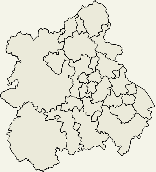
To view trends for your area:
| Local Authority | Type |
|---|---|
| Herefordshire | Unitary |
| Shropshire | Unitary |
| Stoke on Trent | Unitary |
| Telford and Wrekin | Unitary |
| STAFFORDSHIRE | County |
| Cannock Chase | District |
| East Staffordshire | District |
| Lichfield | District |
| Newcastle under Lyme | District |
| South Staffordshire | District |
| Stafford | District |
| Staffordshire Moorlands | District |
| Tamworth | District |
| WARWICKSHIRE | County |
| North Warwickshire | District |
| Nuneaton and Bedworth | District |
| Rugby | District |
| Stratford on Avon | District |
| Warwick | District |
| WEST MIDLANDS | County |
| Birmingham | District |
| Coventry | District |
| Dudley | District |
| Sandwell | District |
| Solihull | District |
| Walsall | District |
| Wolverhampton | District |
| WORCESTERSHIRE | County |
| Bromsgrove | District |
| Malvern Hills | District |
| Redditch | District |
| Worcester | District |
| Wychavon | District |
| Wyre Forest | District |